

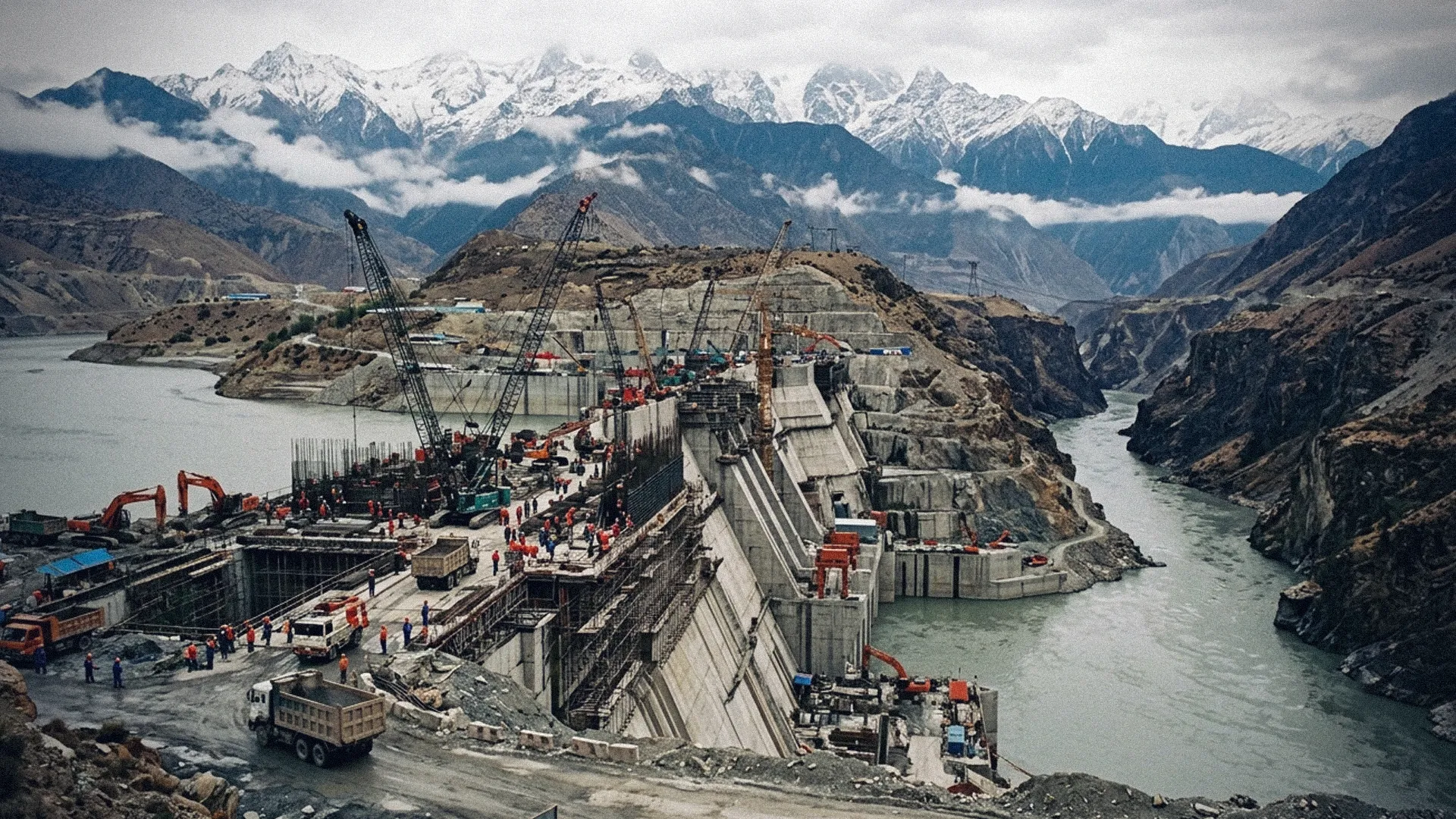
Kathmandu — Fresh concerns have been raised regarding environmental and geopolitical security in the Himalayan region over the massive hydropower project being constructed by China on the Yarlung Tsangpo river in Tibet.
In his latest analysis, Indian strategic analyst Brahma Chellaney termed China's project as an 'upstream water bomb', stating that the international community must pay serious attention to its potential risks.
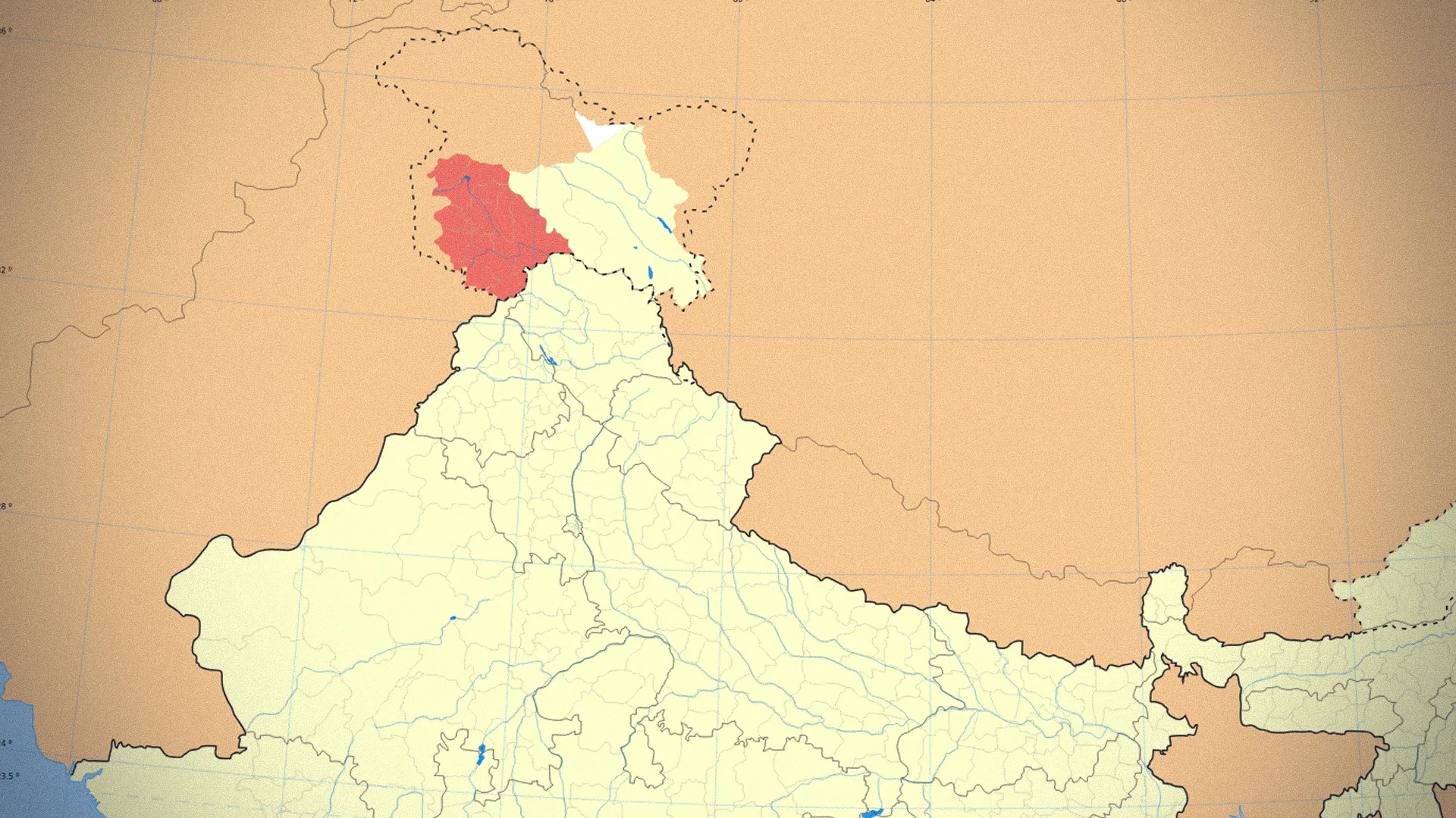
The project being built by China is on track to become the world's largest hydropower project. It is located on Tibet's Yarlung Tsangpo river, which is known as the Brahmaputra after entering India. The project's location falls in the sensitive Himalayan region bordering India's northeastern territory.
According to Chellaney, the project area lies in a seismically active high-risk zone. He noted that even Chinese scientists have expressed concern over potential risks from weak geological structures, seismic activity, or fault line movements in the project area. The additional geological pressure caused by the massive reservoir has also been highlighted as a risk factor.
Concerns Over Impact in India and Bangladesh
The Yarlung Tsangpo flows south from Tibet, passing through India's Arunachal Pradesh and Assam before reaching Bangladesh. Concerns have long existed in India and Bangladesh regarding the long-term impact that China's massive project on this river could have on river flow, seasonal water distribution, siltation, and the river's ecological system.
Chellaney pointed out that in the event of a project accident, earthquake, or sudden need to release water, the impact could reach far beyond China's borders. According to him, the Himalayan river system is directly linked to the lives, agriculture, and water security of tens of millions of people in India and Bangladesh.
Why the Nepali Context Matters?

Interested in this ad?
Would you like to continue to the link or provide your information for more details?
Please provide your information
To continue, please fill in your details
Although Nepal is not among the primary downstream countries directly affected by this specific project, recent Himalayan disasters demonstrate how rapid cross-border impacts of geological and hydrological events near the Tibet-Nepal border can be.
Following the avalanche and glacial disaster on August 26, significant damage occurred in both Nepal and Tibet. Rescue and rehabilitation operations are still ongoing in the disaster area on the Chinese side.
On August 28, after a large barrier lake formed near the China-Nepal border burst, an additional flood risk was created on the Nepali side. Nepali officials stated that Chinese officials had previously alerted Nepal to the risk of the lake bursting.
This underscores the crucial relationship between major infrastructure projects under construction in the Himalayas, glaciers, river systems, and disaster early warning mechanisms.
Questions of Transparency and Information Sharing
Chellaney accused China of failing to adequately disclose technical and environmental data regarding the Yarlung Tsangpo project. He demanded the establishment of regular water flow data sharing and early warning mechanisms for emergency disasters with India and Bangladesh.
However, the conclusion that the 'super dam' will definitely trigger catastrophic flooding is not an established scientific fact. Chellaney's article is primarily a strategic analysis of potential seismic, environmental, and transboundary water security risks.
At a time when climate change, glacial melt, and rapid infrastructure construction are proceeding simultaneously in the Himalayas, risk assessment, transparency, and transboundary information sharing regarding such mega-projects have become vital issues for regional security.