


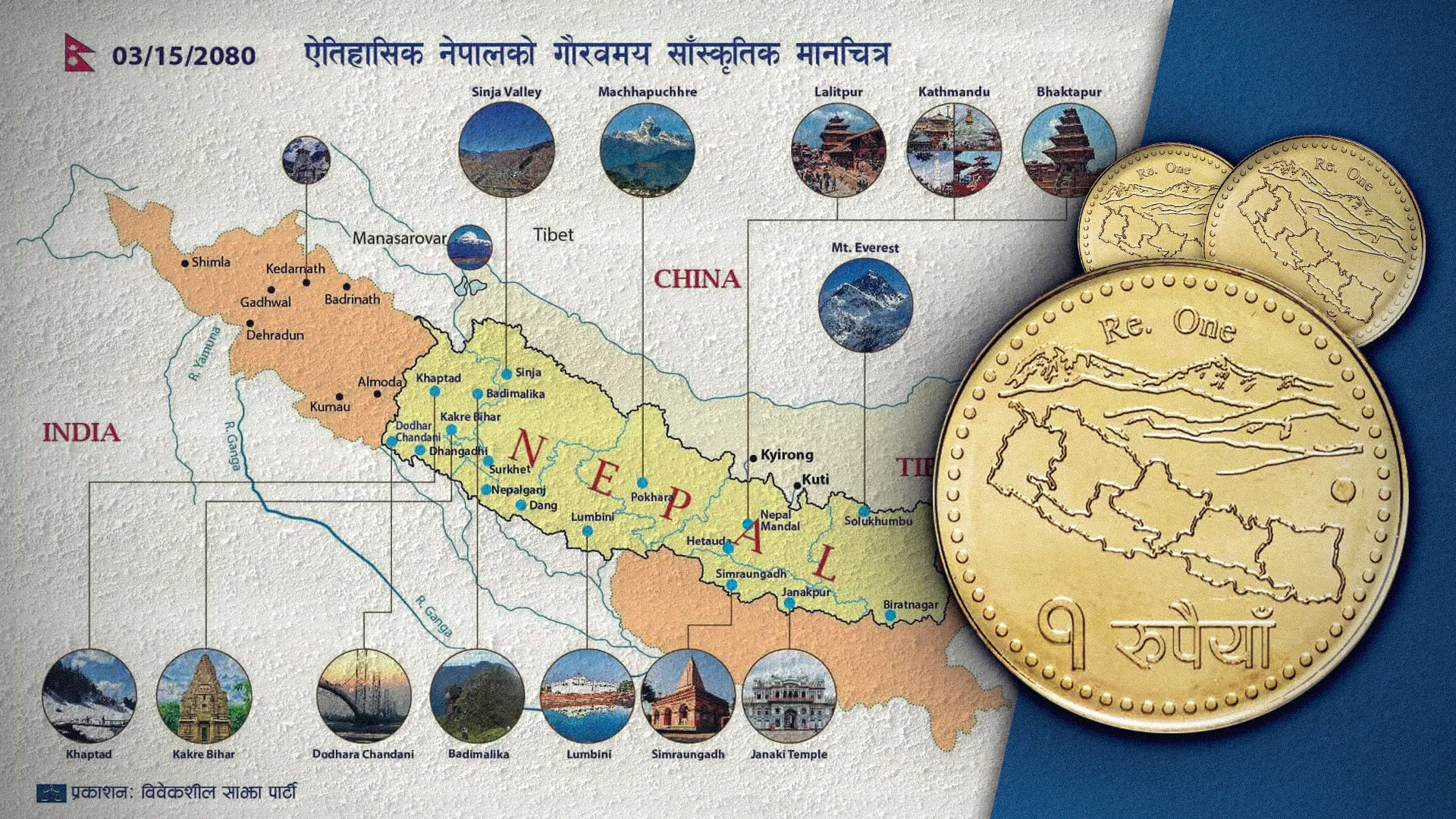
The historical concept of Greater Nepal encompasses the sovereign territory of the Gorkha Empire prior to the 1816 Sugauli Treaty, as well as its trans-Himalayan cultural and commercial spheres of influence. Historically, this geographic consciousness extended from the Tista River in the east to the Sutlej River in the west, and south into the northern plains of the Ganges, encompassing regions such as Kumaon, Garhwal, Almora, Dehradun, Shimla, Sikkim, and Darjeeling. To the north and northeast, this influence passed through trans-Himalayan passes reaching the southern bank of the Yarlung Tsangpo (Brahmaputra) River and the city of Shigatse in Tibet. In 2003 (2060 B.S.), the Greater Nepal Nationalist Front, led by Phanindra Nepal, revived this campaign, arguing that Article 8 of the 1950 Nepal-India Treaty canceled old colonial treaties, including the Sugauli Treaty.
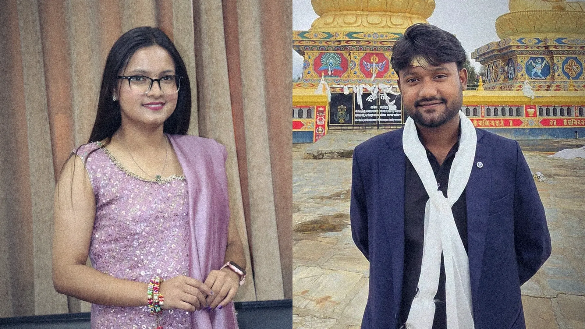
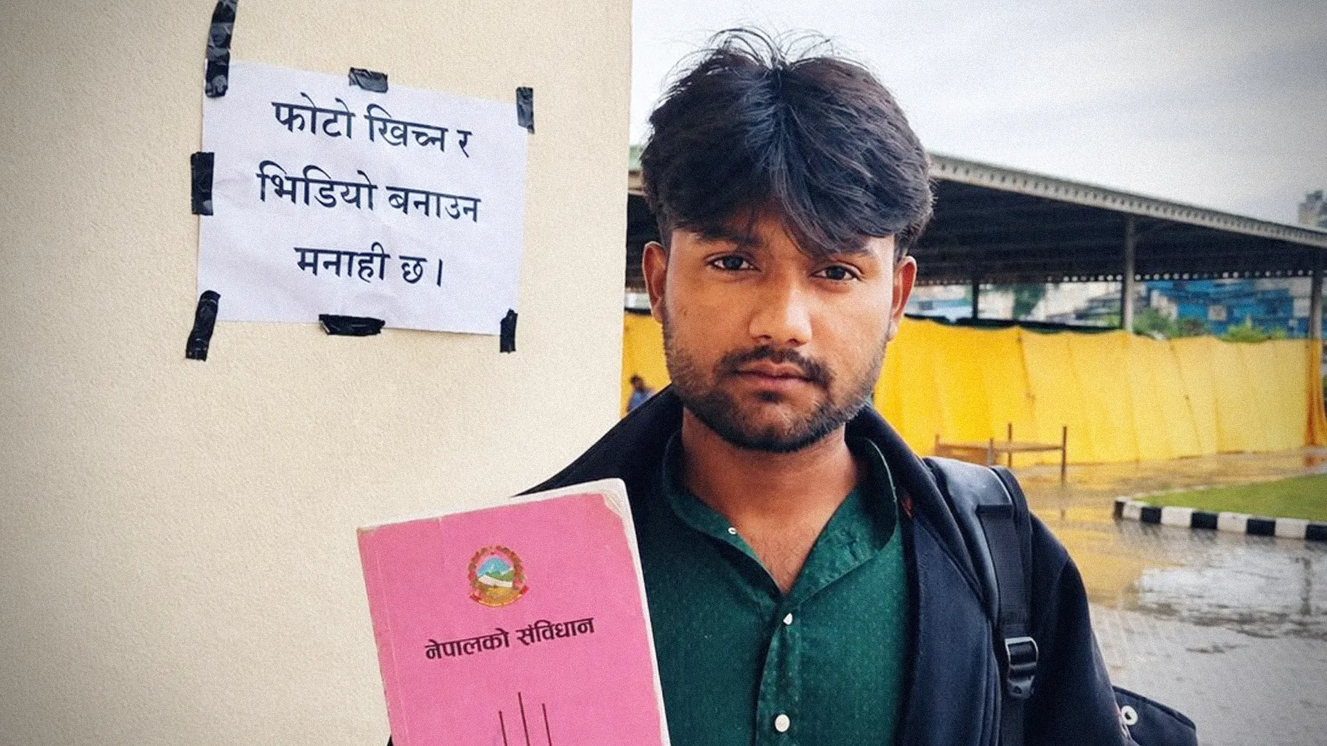
This cartographic concept entered mainstream politics around mid-2023. On June 8, 2023 (Jestha 25, 2080 B.S.), Balendra (Balen) Shah, then Mayor of Kathmandu Metropolitan City, placed a map of Greater Nepal in his office to protest the "Akhand Bharat" mural in India's new parliament building. Shortly after, on June 30, 2023 (Asar 15, 2080 B.S.), the Bibeksheel Sajha Party issued a "Glorious Cultural Map of Historical Nepal" covering heritage sites such as the Sinja Valley, Lumbini, Janaki Temple, and Tashilhunpo Monastery. Later, after Bibeksheel Sajha merged into the Rastriya Swatantra Party (RSP), this symbolic stance became linked with RSP's political agenda, where Balen Shah serves as senior leader and Prime Minister.
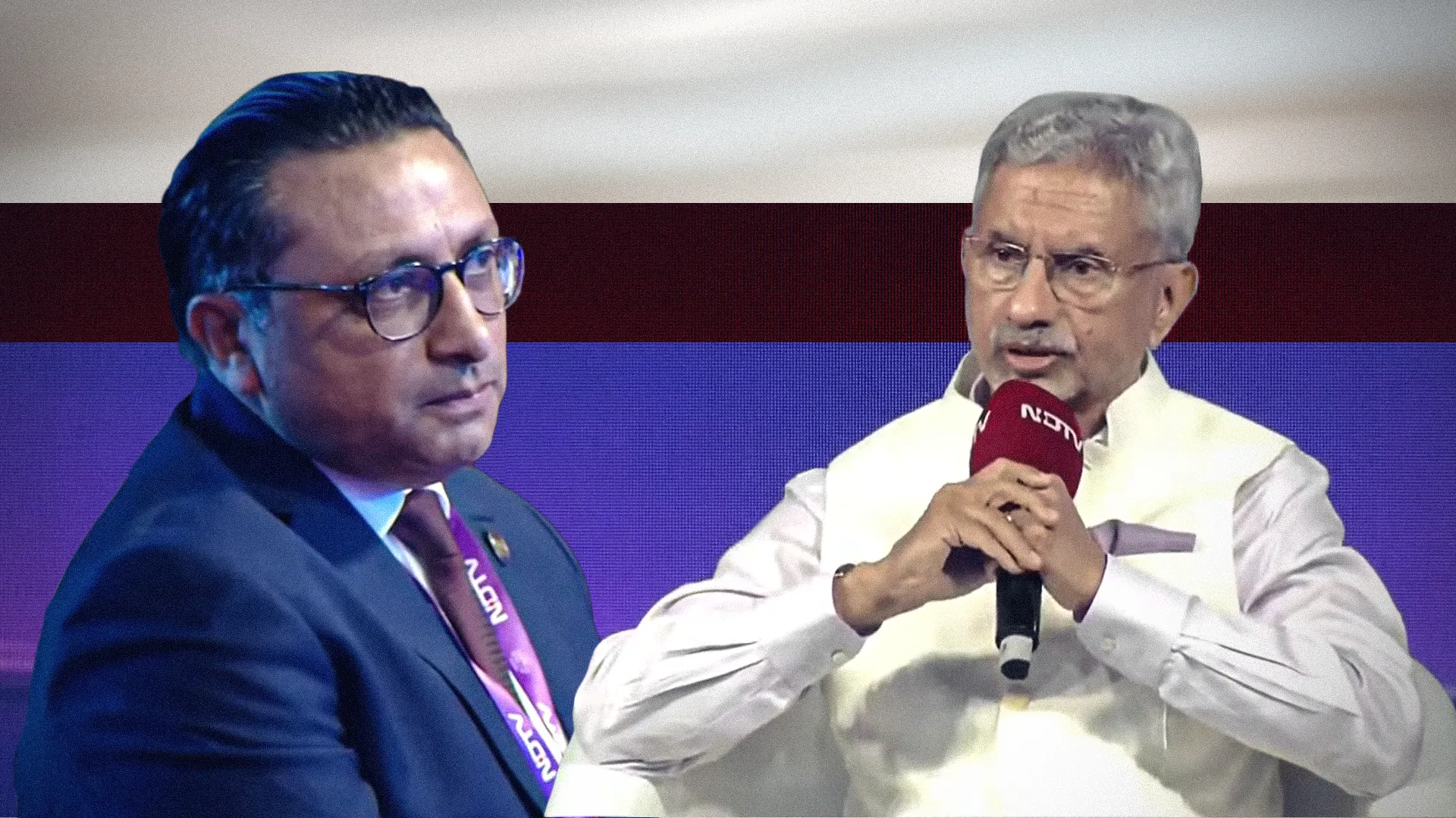
Meanwhile, a monetary and diplomatic controversy arose after the Cabinet approved a proposal by Nepal Rastra Bank to remove the constitutional political map (the pointed map) containing Limpiyadhura, Lipulekh, and Kalapani from the one-rupee coin and replace it with an image of Mustang's historical Lo Ghyakar Monastery. Following this decision, Indian news media broadcast sarcastic news stories commenting that Nepal had backed down and "bowed" from its map. Although the Rastra Bank and the government called it a cultural modification, severe criticism of the government and the central bank is taking place domestically for sending contradictory diplomatic messages regarding national sovereignty and border security.

Interested in this ad?
Would you like to continue to the link or provide your information for more details?
Please provide your information
To continue, please fill in your details
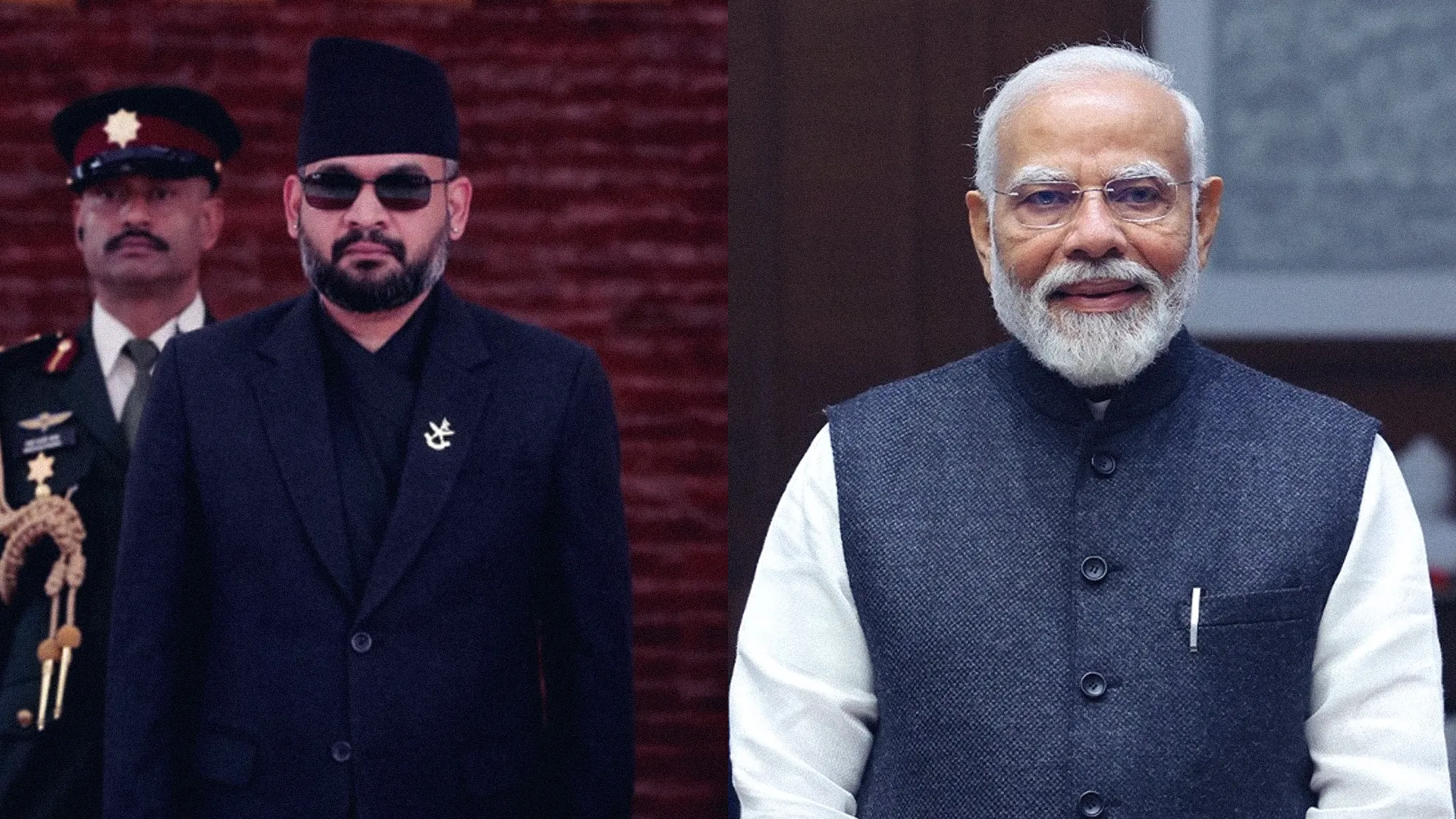
In the grand theater of South Asian geopolitics, watching the map expand heroically on office walls while mysteriously shrinking on the loose change in one's own pocket is truly a remarkable and thrilling sight. Prime Minister Balen Shah hanging the map interpreted by Phanindra Nepal on his wall during his tenure as Kathmandu's mayor was itself a unique example of selective geography—where territories to the east, west, and south were passionately claimed back, but uncomfortable borders and encroachments toward the northern neighbor, China, were casually ignored. Bibeksheel Sajha elevated this artistic drama to even greater heights by gifting the public a cultural map encompassing all four directions, proving that as long as a map looks attractive on quality paper, protecting or governing physical borders is a completely optional matter.
Now, after Nepal Rastra Bank displayed its love for architecture by removing the constitutional map from the coin, Indian media outlets are staging victory parades claiming Nepal has surrendered. But instead of remaining confined to defensive silence, why shouldn't the Balen government launch a more powerful counterattack? To demonstrate its fearless political courage, the government should immediately issue a new coin of Greater Nepal covering the encroached territories toward northern China and over 100 million "citizens" residing in historical areas to the east, west, and south. To immortalize this monetary strategy, its official explanation should be published in the Nepal Gazette or Gorkhapatra, ensuring that even if our rupee's purchasing power declines, our cartographic imagination remains grand and intact.